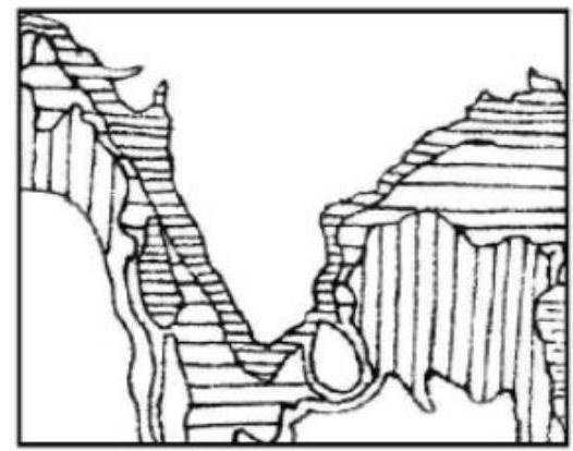
Consider the map given below: The divisions along India's coastal region indicate
A
coastal pollution zones
B
salinity density isopleths
C
the areas up to which sovereignty extends
D
underwater relief contours
Correct Answer: Option C
Explanation
1. The map shows divisions along India's coastal region.
2. These divisions are lines drawn parallel to the coast at varying distances into the sea.
3. International maritime law, codified in the United Nations Convention on the Law of the Sea (UNCLOS), defines different maritime zones where coastal states exercise varying degrees of sovereignty and jurisdiction.
4. These zones typically include the Territorial Sea (up to 12 nautical miles, full sovereignty), Contiguous Zone (up to 24 nm), Exclusive Economic Zone (EEZ, up to 200 nm, sovereign rights for resource exploitation), and the Continental Shelf.
5. The lines shown on the map likely represent the boundaries of these zones, indicating the areas up to which India's sovereignty (in the territorial sea) and sovereign rights/jurisdiction (in other zones) extend.
6. Coastal pollution zones, salinity density isopleths, and underwater relief contours would typically be represented differently (e.g., shaded areas for pollution, isopleths for salinity connecting points of equal value, contour lines for relief).
More Geography (Indian physical environment) PYQs
- With reference to the Himalayan rivers joining the Ganga downstream of Prayagraj from West to East, which one of the following sequences is correct?
- Consider the following information: | | Waterfall | Region | River | 1. Dhuandhar | Malwa | Narmada | 2. Hundru | Chota Nagpur | Subarnarekha | 3. Gersoppa | Western Ghats| Netravati | In how many of the above rows is the given information correctly matched?
- Consider the following statements : 1. Jhelum River passes through Wular Lake. 2. Krishna River directly feeds Kolleru Lake. 3. Meandering of Gandak River formed Kanwar Lake. How many of the statements given above are correct?
- Consider the following statements : 1. Amarkantak Hills are at the confluence of Vindhya and Sahyadri Ranges. 2. Biligirirangan Hills constitute the easternmost part of Satpura Range. 3. Seshachalam Hills constitute the southernmost part of Western Ghats. How many of the statements given above are correct?
- Consider the following trees : 1. Jackfruit (Artocarpus heterophyllus) 2. Mahua (Madhuca indica) 3. Teak (Tectona grandis) How many of the above are deciduous trees?
- Gandikota canyon of South India was created by which one of the following rivers ?
Master UPSC Revision
Get 10,000+ topic-wise MCQs, spaced repetition, daily CSAT challenges, and detailed performance analytics.
Coming Soon to Play Store